A · Land survey
Total Station Survey in Jhalawar & Kota region
प्लॉट की सटीक नाप — mm तक का भरोसा
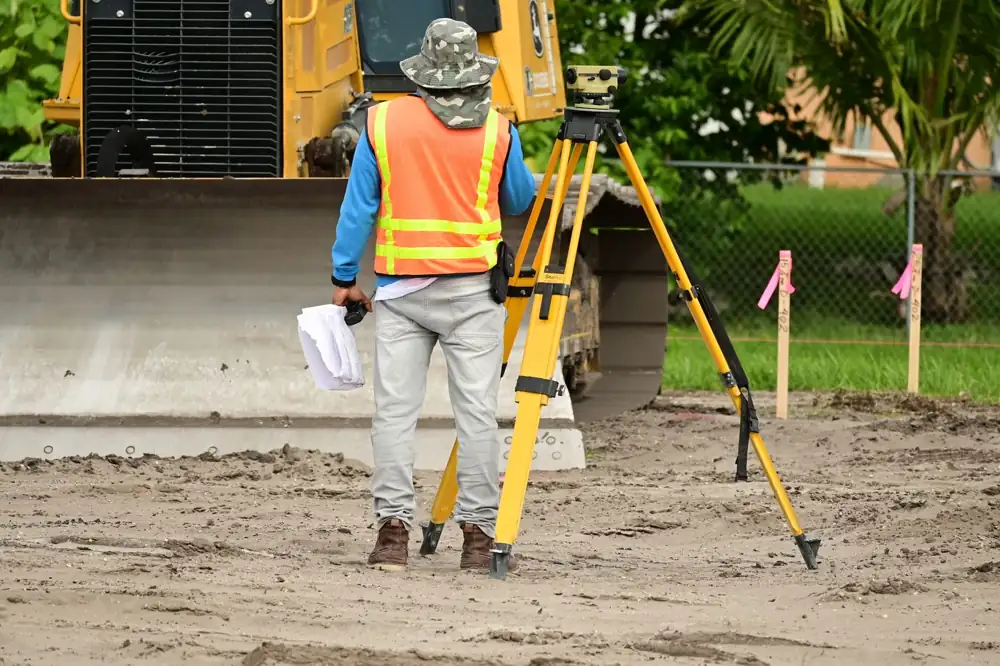
A Total Station measures angles and distances electronically, so every corner of your plot is fixed with millimetre-level precision. It is the right survey for plot demarcation, colony layouts, registry measurement and building marking.
When do you need this?
- Before buying a plot — check the real size and boundaries match the registry.
- Colony layout — divide land into plots, roads and parks with exact pegs.
- Fencing or boundary wall — mark the correct line before you build.
- Registry or patta measurement — an accurate map for the sale or lease document.
- Building planning — site plan with levels for the architect or engineer.
What you receive
AutoCAD drawing (DWG)
boundary, features and dimensions to scale
PDF map + printed copy
A4 to A0 colour print from our plotter
Area statement
area in sq ft, sq m and bigha
Corner pegs on site
marked on the ground when required
DGPS vs Total Station — which one for you?
DGPS (RTK)
- Best for: large land, farms, roads
- Accuracy: ±1–3 cm
- Output: real-world coordinates & KML
- Speed: very fast on big open land
Total Station
- Best for: plots, buildings, colony marking
- Accuracy: mm-level
- Output: precise local layout
- Speed: best for detailed, smaller sites
Not sure which survey you need? Send the site location — we will suggest the right method, free.
How it works
- 1Call / WhatsApp
Share the location pin, khasra number, area and purpose of the survey.
- 2Quote & date
We suggest the right method, share the cost and fix a site date.
- 3Field survey
Our team measures on site with Total Station / DGPS and marks the points.
- 4Map & report
AutoCAD map, PDF, printed copy and KML on WhatsApp or email.
Questions about this service
How accurate is a Total Station survey?
Can you mark my plot corners on the ground?
Is Total Station better than DGPS?
Contact us
Get a free survey quote
Call, WhatsApp or visit the office — we reply the same working day.
- Phone / WhatsApp079760 27294
- HoursMonday to Saturday, 10:00 AM – 6:00 PM. Sunday closed.