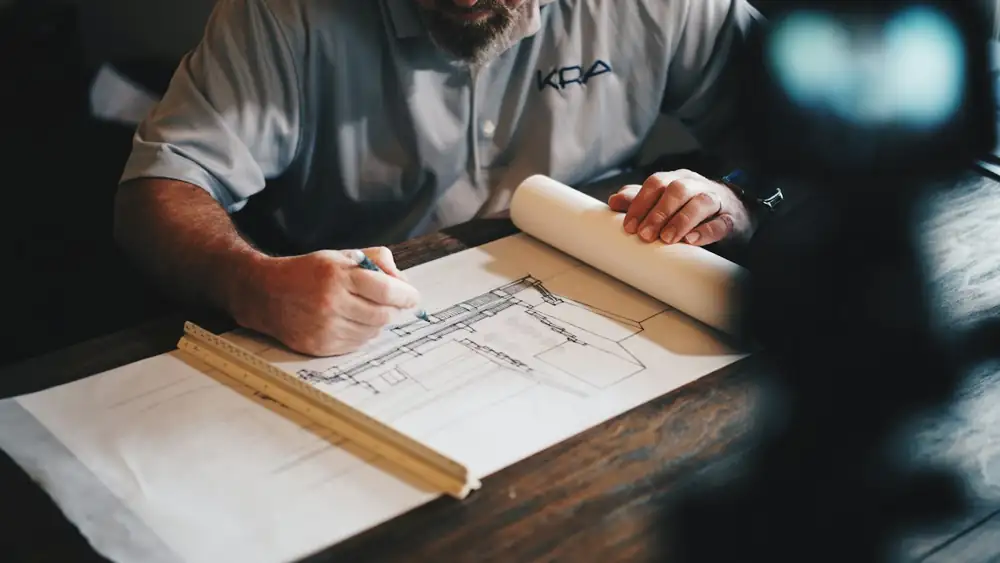
D · Mapping & drawing
Survey Map / Naksha Making in Jhalawar & Kota region
AutoCAD में साफ़, नाप सहित नक्शा
We turn survey measurements into clean, readable maps in AutoCAD — colony layouts, site plans, key plans and location maps — ready for approval files, sale documents and your own records.
AccuracyDrawn from measured data
TurnaroundUsually a few working days
Bring / sendSurvey data or our survey, rough sketch / requirements
When do you need this?
- Colony layout plan — plots, roads, parks and numbering.
- Site plan — for registry, loan or approval files.
- Key plan & location map — where your land lies in the area.
- Redrawing old maps — hand-drawn naksha converted to AutoCAD.
- Plot brochures — clear plot maps for selling.
What you receive
AutoCAD file (DWG)
editable and to scale
PDF map
ready to share and print
KML file
view the layout on Google Earth
Colour prints
A4 to A0
How it works
- 1Call / WhatsApp
Share the location pin, khasra number, area and purpose of the survey.
- 2Quote & date
We suggest the right method, share the cost and fix a site date.
- 3Field survey
Our team measures on site with Total Station / DGPS and marks the points.
- 4Map & report
AutoCAD map, PDF, printed copy and KML on WhatsApp or email.
Questions about this service
Can you redraw my old hand-made naksha?
Yes. We digitise it in AutoCAD; a site check is recommended if dimensions are unclear.
Do you design colony layouts?
We draw layouts from your requirement and survey. Planning rules of the local authority must be followed for approval.
Which format will I get?
DWG, PDF and printed copies; KML if needed.
Contact us
Get a free survey quote
Call, WhatsApp or visit the office — we reply the same working day.
- Phone / WhatsApp079760 27294
- HoursMonday to Saturday, 10:00 AM – 6:00 PM. Sunday closed.