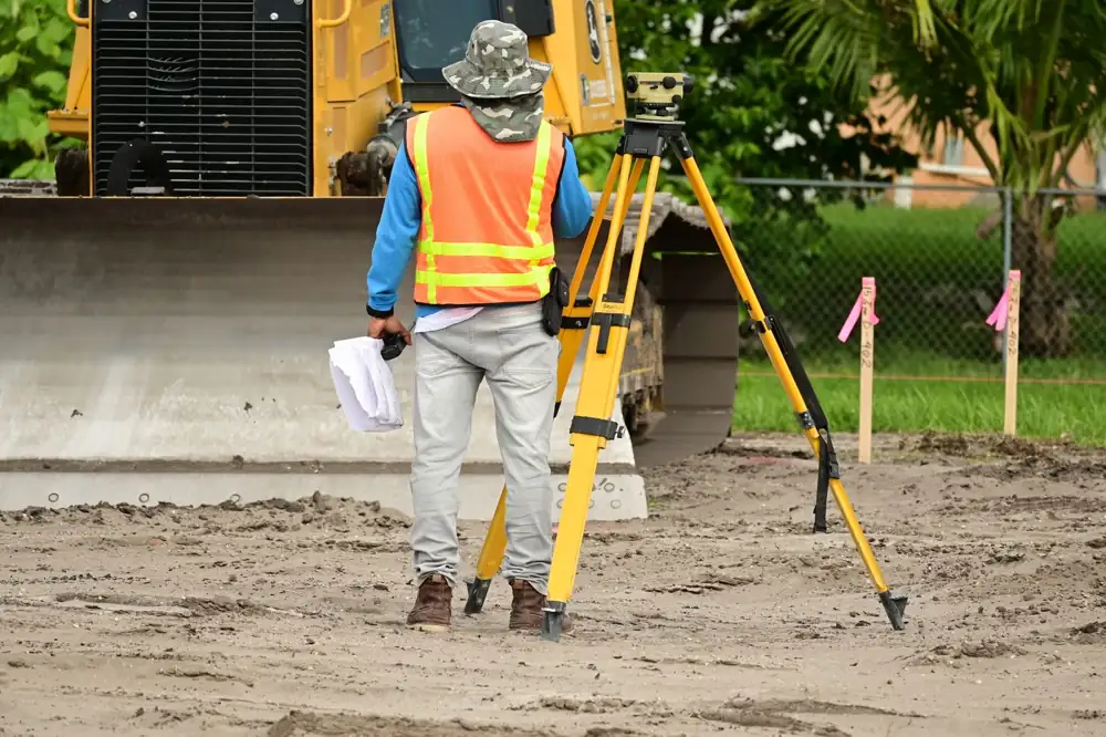
 A · Land survey
Land Survey
Total Station, DGPS, Plane Table and Leveling surveys for plots, farms, colonies and roads.
5.0 on Google · Jhalawar district
ज़मीन की सही नाप — एक-एक इंच का भरोसा
Total Station, DGPS, Plane Table and Leveling surveys for plots, colonies, farms, roads and government work — with AutoCAD maps and A4 to A0 colour printing under one roof.
Our services
Survey, revenue records, construction marking, mapping, printing and rental — everything your land needs, from Jhalrapatan.
A · Land surveyTotal Station, DGPS, Plane Table and Leveling surveys for plots, farms, colonies and roads.
 B · Revenue & legal
Match land with revenue maps, divide it between shares, and get signed proof for court or tehsil.
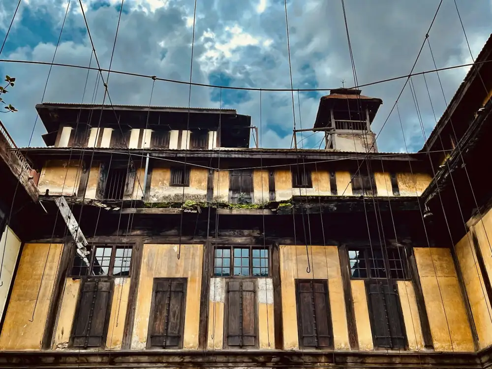 C · Construction
Column marking before foundation and cut-fill quantities before earthwork.
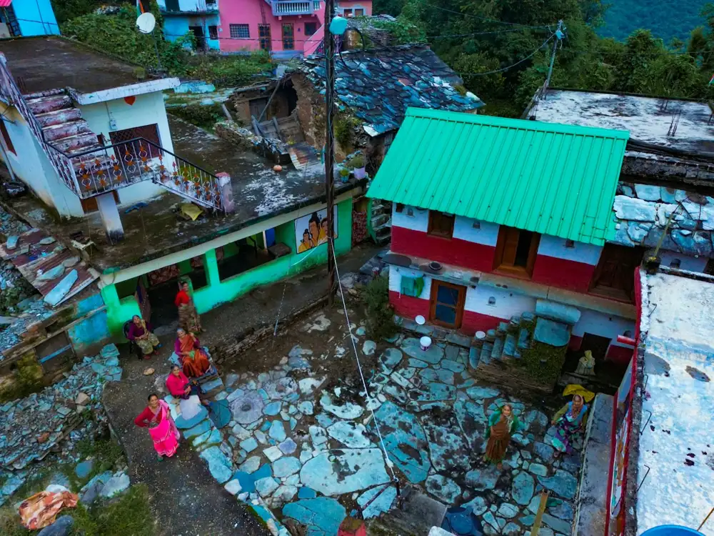 D · Mapping & drawing
AutoCAD survey maps, colony layouts and house maps for Nagar Palika, UIT and bank loans.
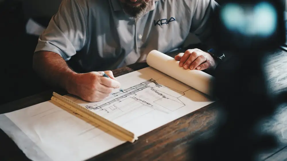 E · Printing
Large-format colour prints, lamination, A0 scanning and binding — same day.
 F · Rental
Total Station, DGPS and Auto Level on day-wise rent, with or without operator.
Who we work with
Registry, partition, fencing or a boundary dispute — know exactly what you own.
Full colony survey, layout plan, plot-wise marking and road alignment.
Site leveling, building line-out, column marking and quantity surveys.
Road, canal, pipeline and land-acquisition surveys with proper reports.
Khet ki naap, khasra matching, leveling for irrigation and boundary with neighbours.
Accurate site plans for design, loan files and property valuation.
Why Vinayak Surveyors
We are a Jhalrapatan office that knows the villages, the khasra records and the patwari process of this region. Every job is measured with electronic instruments, drawn in AutoCAD and explained to you in simple words.
Total Station and DGPS RTK — accuracy a measuring tape can never give.
Every map is cross-checked in the office before it reaches you.
Jhalawar villages, khasra records, tehsil and patwari process — we know them.
Field work, AutoCAD drawing and A0 print from one office.
Delivery date agreed before we start, with updates on WhatsApp.
Clear quote after a free discussion — no hidden charges later.
How we work
Share the location pin, khasra number, area and purpose of the survey.
We suggest the right method, share the cost and fix a site date.
Our team measures on site with Total Station / DGPS and marks the points.
AutoCAD map, PDF, printed copy and KML on WhatsApp or email.
Our equipment
Calibrated regularly · Also available on rent
Electronic angle and distance measurement for plots, colonies and building marking.
mm-level accuracySatellite positioning for large land, farms and roads with real-world coordinates.
±1–3 cm (RTK)Height differences for leveling, contours, drainage and floor levels.
For levels & slopesLarge-format colour printing of maps and drawings from A4 up to A0.
A4 to A0Type of work
Boundary survey, plot division, road widths and corner pegs for new colonies.
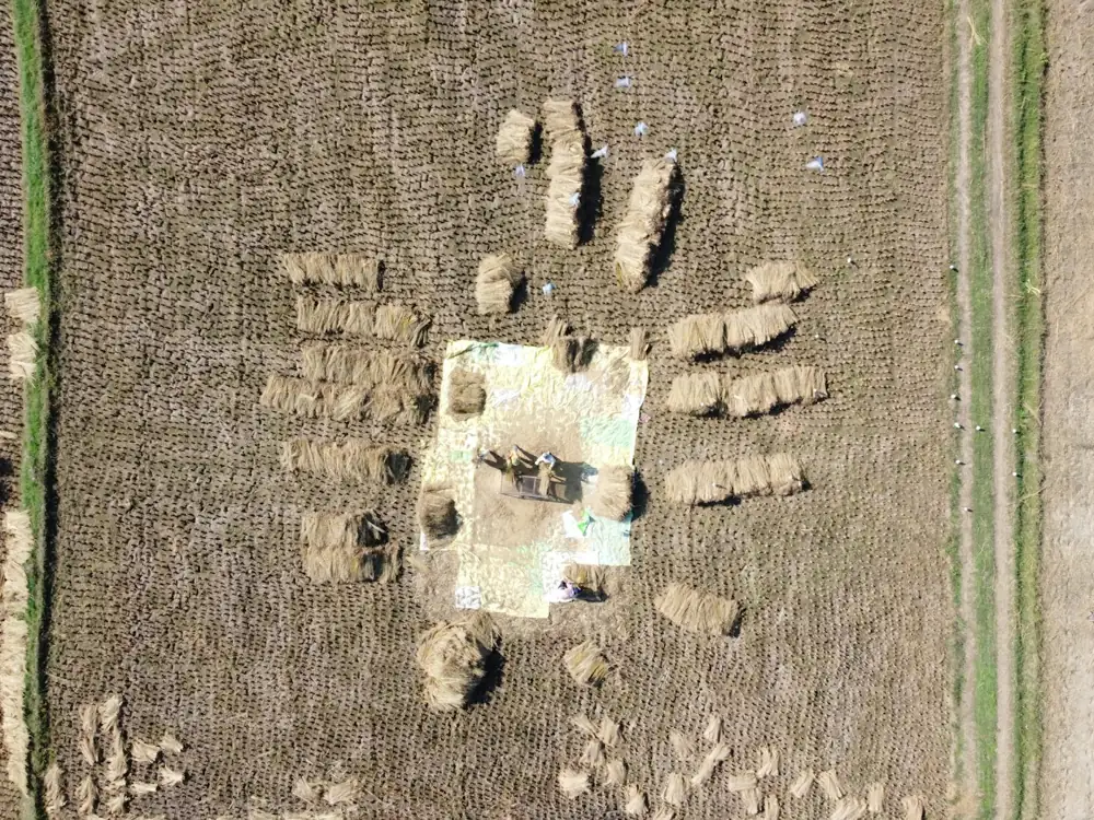
Large land parcels, farm boundaries and long road or canal routes on real coordinates.
Centre-line and column marking for houses, shops and commercial buildings.
FAQ
Contact us
Call, WhatsApp or visit the office — we reply the same working day.